Scholars of English demarcate eras in the evolution of the language. The date ranges below reflect the fact that not all scholars agree on the precise beginning and ending points.
Four years later, Skousen published another important article entitled "How Joseph Smith Translated the Book of Mormon: Evidence from the Original Manuscript" in Journal of Book of Mormon Studies 7.1 (1998). Skousen argued the Prophet Joseph was not at liberty to articulate ideas in his own vernacular, but rather the translation process was under divine "tight control."
Between 2004 and 2009 Skousen published his important 6 volume Analysis of Textual Variants of the Book of Mormon. They were followed by the seminal The Book of Mormon: The Earliest Text (New Haven and London: Yale University Press, 2009), the version of the text we now commonly refer to as the "Yale edition." The Yale edition attempts to reconstruct the text as it fell from the lips of the Prophet at the moment of translation. As such, it has quickly become the de facto standard for scholarly analysis of the Book of Mormon.
Through close reading of the Yale Edition and the Oxford English Dictionary, linguist Stanford Carmack has now found significant new evidence supporting Skousen's theses:
His article is entitled "A Look at Some 'Nonstandard' Book of Mormon Grammar" in Interpreter: A Journal of Mormon Scripture Vol. 11 (2014). Skousen came to his conclusions largely through a painstaking analysis of Book of Mormon vocabulary. Carmack's second witness comes from his study of grammar and syntax.
Why did the Lord render the text of the Book of Mormon in a vocabulary and syntax that predated the translation by approximately 120 - 350 years? One likely reason was so the text sounded Biblical with an affinity to the King James Version. Another likely reason was to grace the already awe-inspiring Nephite masterpiece with yet another miracle. The Book of Mormon got a great deal of Old World culture right (a convenient survey of the data is in Donald W. Parry, Daniel C. Peterson, and John W. Welch, editors, Echoes and Evidences of the Book of Mormon, (Provo, UT: BYU and FARMS, 2002). It got hundreds of Mesoamerican cultural nuances right (the best current summary is in John L. Sorenson, Mormon's Codex: An Ancient American Book, (Salt Lake City: Deseret Book and Neal A. Maxwell Institute for Religious Scholarship, 2013). And, as we are showing in this series of blog articles, it got hundreds of points of Mesoamerican geography right. That's a lot to ask of a prophet who was only 24 years, 3 months old when the book went on sale for the first time in Palmyra, NY on March 26, 1830. Now add the fact that the text was in a language not spoken by Joseph Smith, Jr. or any of his father's or grandfather's generation. One is left spell-bound with respect for the prodigy of it all. This is another powerful witness that the Nephite corpus did in fact come forth "by the gift and power of God" As Moroni2 says on the Title Page.
- A.D. 450 was the beginning of Old English which continued until A.D. 1100 - 1170.
- A.D. 1100 - 1170 was the beginning of Middle English which continued until A.D. 1300.
- A.D. 1300 was the beginning of Late Middle English which continued until A.D. 1470 - 1500.
- A.D. 1470 - 1500 was the beginning of Early Modern English which continued until A.D. 1670 - 1700. (Some even put the end of Early Modern English as late as A.D. 1800 e.g. The History of English.)
- A.D. 1670 - 1700 was the beginning of Modern English aka Late Modern English which has become Earth's lingua franca.
- Geoffrey Chaucer's Canterbury Tales were written in Late Middle English about 1380.
- The first book in English printed on a printing press appeared in Late Middle English in 1475 in Bruges (now Belgium). The first printing press on English soil began operation in 1476.
- Between 1590 and 1613 William Shakespeare wrote the 37 plays in his canon in Early ModernEnglish.
- In 1611 the first edition of the King James Version of the Bible was published in Early Modern English. Predecessors included the Tyndale New Testament in 1526 and the Coverdale Bible in 1525.
- In 1755 Samuel Johnson's Dictionary of the English Language helped standardize the Modern English we use today.
- The first edition of the monumental Oxford English Dictionary was published in 1928 in ten bound volumes. The most cited work in the OED: various editions of the Bible. The most cited author: William Shakespeare. Shakespeare's most cited play: Hamlet.
Four years later, Skousen published another important article entitled "How Joseph Smith Translated the Book of Mormon: Evidence from the Original Manuscript" in Journal of Book of Mormon Studies 7.1 (1998). Skousen argued the Prophet Joseph was not at liberty to articulate ideas in his own vernacular, but rather the translation process was under divine "tight control."
Between 2004 and 2009 Skousen published his important 6 volume Analysis of Textual Variants of the Book of Mormon. They were followed by the seminal The Book of Mormon: The Earliest Text (New Haven and London: Yale University Press, 2009), the version of the text we now commonly refer to as the "Yale edition." The Yale edition attempts to reconstruct the text as it fell from the lips of the Prophet at the moment of translation. As such, it has quickly become the de facto standard for scholarly analysis of the Book of Mormon.
Through close reading of the Yale Edition and the Oxford English Dictionary, linguist Stanford Carmack has now found significant new evidence supporting Skousen's theses:
- The language spoken by the Prophet to his scribes during translation was in large degree Early Modern English.
- The translation process was carefully controlled by a higher power.
His article is entitled "A Look at Some 'Nonstandard' Book of Mormon Grammar" in Interpreter: A Journal of Mormon Scripture Vol. 11 (2014). Skousen came to his conclusions largely through a painstaking analysis of Book of Mormon vocabulary. Carmack's second witness comes from his study of grammar and syntax.
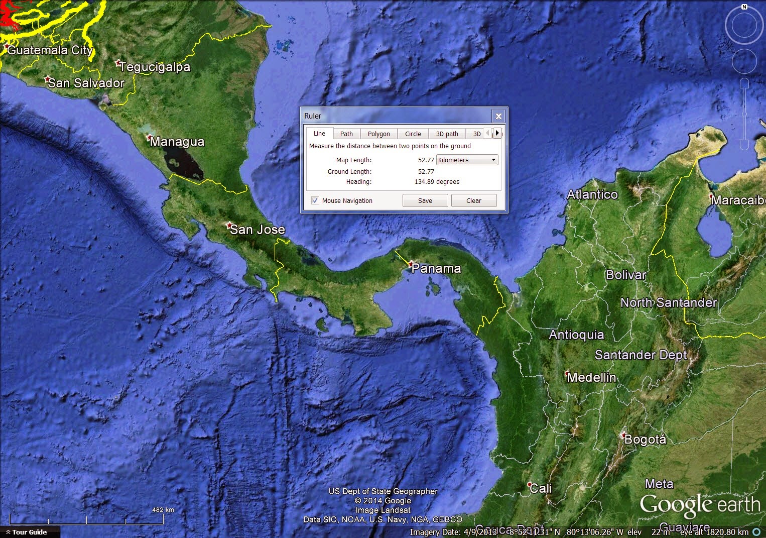
Why did the Lord render the text of the Book of Mormon in a vocabulary and syntax that predated the translation by approximately 120 - 350 years? One likely reason was so the text sounded Biblical with an affinity to the King James Version. Another likely reason was to grace the already awe-inspiring Nephite masterpiece with yet another miracle. The Book of Mormon got a great deal of Old World culture right (a convenient survey of the data is in Donald W. Parry, Daniel C. Peterson, and John W. Welch, editors, Echoes and Evidences of the Book of Mormon, (Provo, UT: BYU and FARMS, 2002). It got hundreds of Mesoamerican cultural nuances right (the best current summary is in John L. Sorenson, Mormon's Codex: An Ancient American Book, (Salt Lake City: Deseret Book and Neal A. Maxwell Institute for Religious Scholarship, 2013). And, as we are showing in this series of blog articles, it got hundreds of points of Mesoamerican geography right. That's a lot to ask of a prophet who was only 24 years, 3 months old when the book went on sale for the first time in Palmyra, NY on March 26, 1830. Now add the fact that the text was in a language not spoken by Joseph Smith, Jr. or any of his father's or grandfather's generation. One is left spell-bound with respect for the prodigy of it all. This is another powerful witness that the Nephite corpus did in fact come forth "by the gift and power of God" As Moroni2 says on the Title Page.


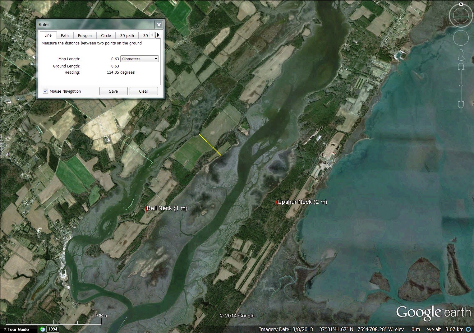
%2BNeck%2C%2BVA%2B1751.jpg)


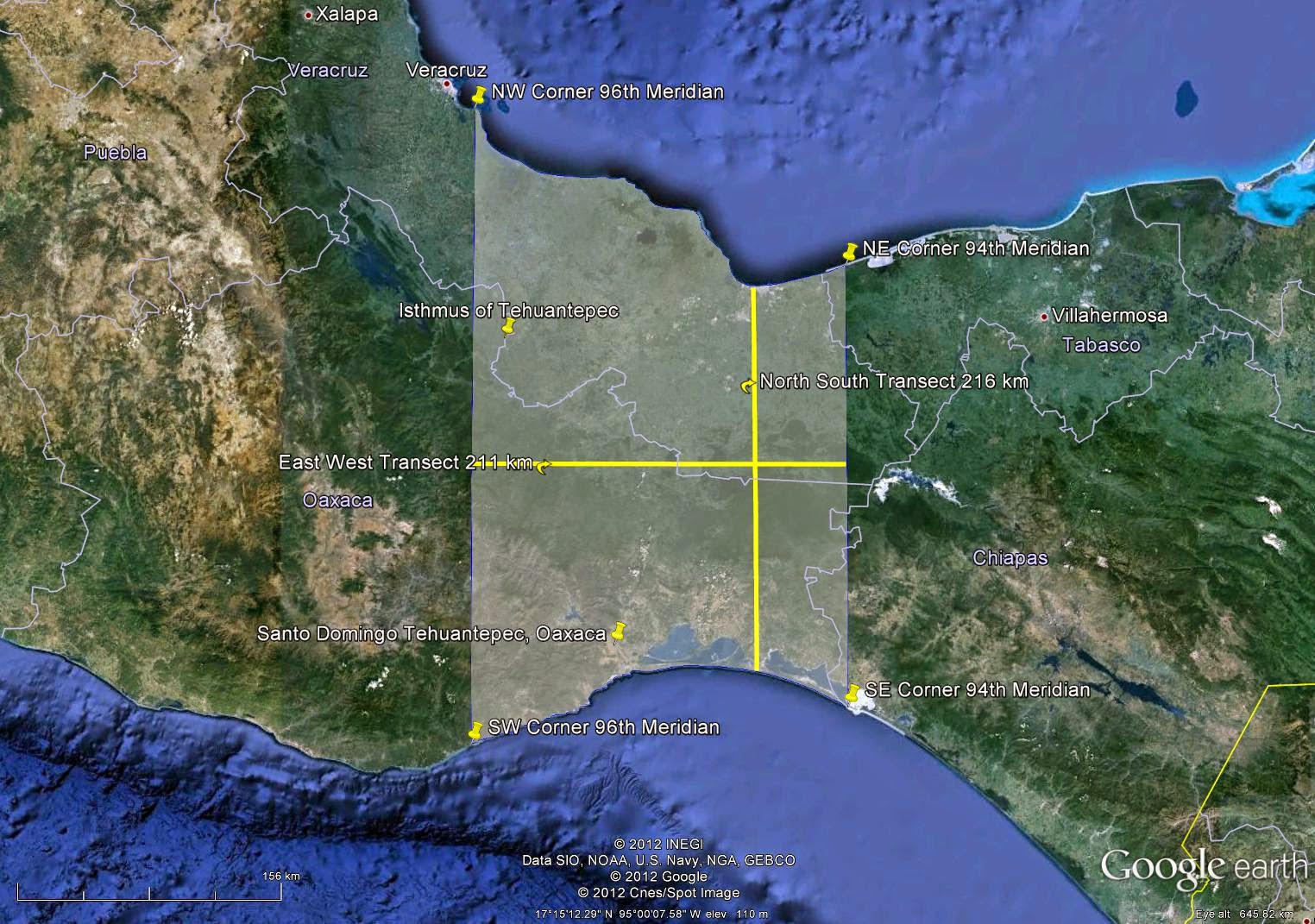
%2C%2BAukland%2C%2BNZ.png)